Eyes in the Sky, Eyes on the Sea: Satellite Remote Sensing for Oceanography
MTA
An applied introduction to using satellite data for marine science and resource management
About this book:
 "Eyes in the Sky, Eyes on the Sea: Satellite Remote Sensing for Oceanography" by Richard J. Greatbatch serves as an applied introduction to leveraging satellite data for marine science and resource management. The book comprehensively covers the fundamentals of satellite remote sensing, starting with the basic physics of orbits, sensors, and radiative transfer that underpin how satellites observe the ocean. It details practical aspects such as accessing and processing various satellite data formats (NetCDF/HDF), managing metadata, and performing crucial preprocessing steps like reprojection, gridding, and atmospheric correction over water. The author emphasizes moving from theoretical understanding to practical application, providing code examples in Python and R, and exploring cloud-based platforms for scalable analysis.
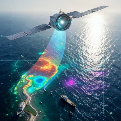
The core of the book delves into specific applications of satellite remote sensing across diverse oceanographic variables. Chapters are dedicated to ocean color (chlorophyll, turbidity, CDOM, and water quality indicators), sea surface temperature (thermal and microwave methods), sea surface height and altimetry (geodesy, tides, and mean sea level), and the derivation of waves and currents. Specialized applications further illustrate the utility of these techniques, including monitoring sea ice, detecting coastal change, identifying harmful algal blooms, informing fisheries and ecosystem management, tracking oil spills and marine pollution, mapping marine debris and Sargassum, and charting bathymetry and benthic habitats. Each application highlights the unique strengths and limitations of different satellite sensors and the necessity of validation against in situ observations.
A significant portion of the text addresses advanced analytical techniques crucial for drawing meaningful conclusions from satellite data. This includes building and analyzing time series, identifying anomalies, and constructing climatologies to understand long-term trends and seasonal variability. The book also explores sensor fusion and data assimilation, explaining how combining data from multiple sources and integrating them with numerical models can create a more comprehensive and predictive understanding of ocean dynamics. Finally, it examines the growing role of machine learning in processing and interpreting satellite data, and discusses the critical transition from scientific analysis to actionable decision support, stressing ethical considerations, data transparency, and the future outlook for satellite oceanography.
What You'll Find Inside:
- How to access marine satellite data from major portals (NASA Earthdata, Copernicus Marine Service, NOAA CoastWatch) with practical tutorials for downloading, subsetting, and working with NetCDF/HDF file formats
- Fundamental principles of satellite oceanography: orbits, sensors, radiative transfer, and how to convert raw measurements into geophysical variables like chlorophyll, sea surface temperature, and sea surface height
- Critical processing techniques including atmospheric correction, cloud/glint masking, quality control, uncertainty quantification, and validation against in situ observations to ensure data reliability
- Applied chapters on key marine applications: harmful algal bloom detection, fisheries habitat modeling, oil spill tracking, coastal change monitoring, bathymetry mapping, and marine debris observation
- Modern analytical workflows integrating sensor fusion, machine learning approaches, cloud platforms (Python/R/GEE), and methods for translating satellite analyses into decision-support products for resource management
Who's It For:
This book is ideal for upper-level undergraduate and graduate students in marine science, oceanography, or environmental remote sensing; early-career researchers building their satellite data analysis skills; and professional practitioners including marine resource managers, coastal planners, fisheries scientists, and environmental consultants who need to apply satellite observations to real-world ocean management and decision-making processes.
Author:
Published By:
Date Published:
May 3, 2026
Word Count:
57,746 words
Reading Time:
4 hours 3 minutes
Sample:
MixCache.com Total Access
Get unlimited access to this book + all books published by MixCache.com for $11.99/month
Subscribe to MTAOr purchase this book individually below
Order:
Click to buy this ebook:
Buy Now
Full ebook will be available immediately
- read online or download as a PDF file.
$5 account credit for all new MixCache.com accounts, usable toward any ebook purchase!*
Ratings & Reviews
Ask Questions About This Book
Have a question about the content? Ask our AI assistant!
Start by asking a question about "Eyes in the Sky, Eyes on the Sea: Satellite Remote Sensing for Oceanography"
Example: "Does this book mention William Shakespeare?"
Thinking...